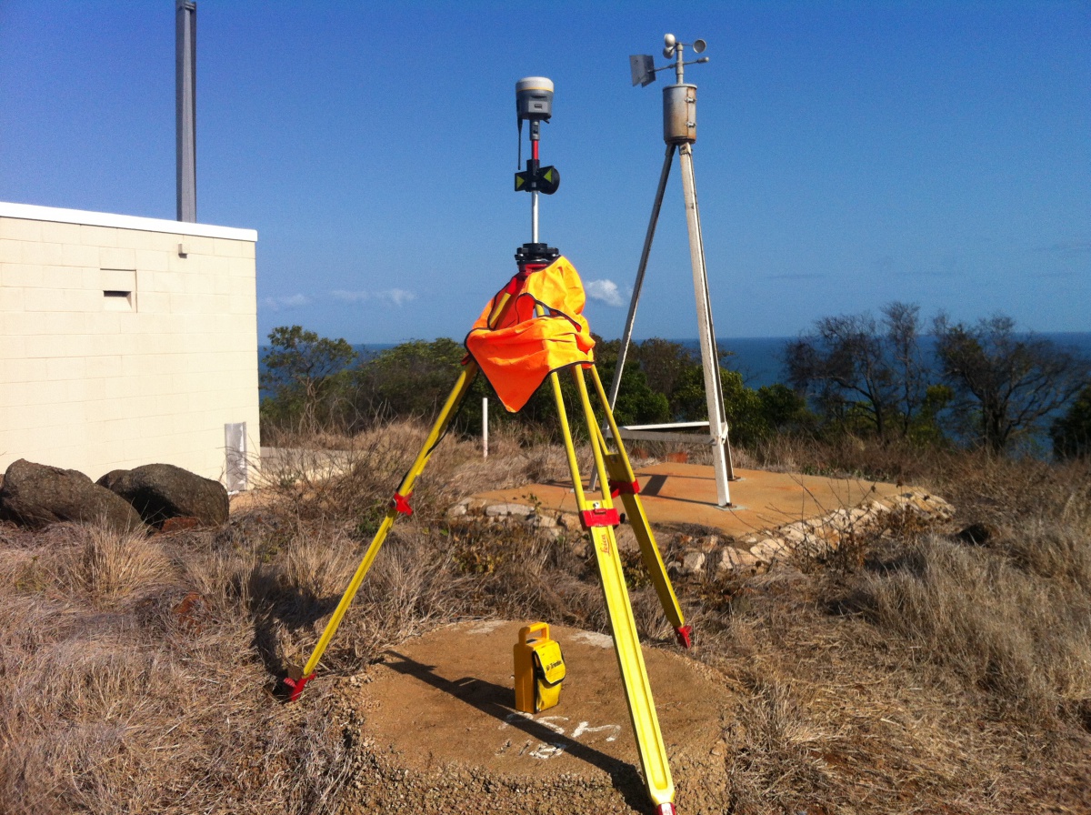
The success of any project depends upon the accuracy and integrity of the data supporting it.
Spatial Services
VISUALISATION + SPATIAL SERVICES
Our spatial analysis team has a unique understanding and perspective on managing spatial data to inform and reinforce the forward strategies of our clients.
We have established an extensive and constantly evolving spatial database that can provide the foundation to inform any strategic planning process.
We can design and demonstrate specific solutions targeting core strategic planning outcomes by complementing existing and purpose-built data sets and processes. It is important that we provide robust and technically appropriate solutions for all projects undertaken. Our goal is to help visualise the spatial content of each of our projects in a manner that provides insight and adds value for our clients.
That’s our assurance.
OUR CORE CAPABILITIES INCLUDE
- Applying technical skills in integrating datasets from many sources into effective mapping solutions to assist the planning and environmental processes
- Visualising state and local constraints identified through legislative controls
- Flood and bushfire mapping
- Mapping Coastal Systems, encompassing wetlands; tidal surfaces such as MHWS and HAT; extent of tidal influence and marine ecosystems; visualising predicted rises in sea level; tide and hydrological modelling
- Topographic mapping in contouring and elevation models at very high resolutions over large areas; analysis of slope and aspect; and
- The application of LiDAR to deliver spatial solutions
A key growth area of this part of the business has been to move past the production of traditional two-dimensional maps in favour of interactive, user-friendly products utilising a variety of software.
Such products allow our clients to interrogate each layer of analysis in an iterative manner and, therefore, better understand their project.
Surveying Services
The success of any project depends upon the accuracy and integrity of the data supporting it.
Our experienced survey team provides high-end land information services using proven methodologies and the latest survey technology.
Efficient processes that minimise time, maximise cost savings and produce quality data.
That’s our promise.

OUR CORE CAPABILITIES INCLUDE
- Digital Terrain Modelling
- Building format community title and volumetric surveys
- Boundary and topo surveys
- Infrastructure projects
- Residential, commercial and industrial subdivisions
- Hydrographic surveys
- Data acquisition, management and integration
Take Control of Your Project in 3 Easy Steps
1. Schedule A Call
We listen to learn where your project needs support to move forward.
2. Create a Strategy
3. Execute Your Strategy
We exist to bring your project to life
Take control and let us help you navigate a successful development project